Blog
Posted: December 2
Sanin Kaigan Autumn Leaves Trail – Walking Kyotango
Sanin Kaigan Trail #26
The Sanin Kaigan Geopark Trail is a 230km long hiking trail. It stretches from Tottori in the west to Cape Kyogamisaki, Kyotango in the East. The trail is broken up into 27 courses 6 of which are in Kyotango. Today let’s take a look at course 26, while enjoying the autumn leaves along the walk
This course follows the coast line from Takashima Beach in the east to Tenki Tenki Tango in the west. It is a 9.9km one-way course but includes a climb of about 145m, earning it a difficulty rating of 2 *’s out of 4. The expected time to finish is 200 minutes (about 3 hrs 20 mins).
Getting There
I chose to park at Tenki Tenki Tango and take the bus to Takashima Beach and walk from there. I wanted to get the bus on the way out rather than relying on arriving at my destination at the same time as the bus and risking having to rush the final section.

The view while waiting for the bus
Tenki Tenki Tango makes a good finish point too, as it has food and ice cream in case you need a little pick-me-up at the end. I suppose the alternatives are to have a friend pick you up at the other end. Or make it a round-trip rather than a one-way walk, if you’re feeling particularly energetic.
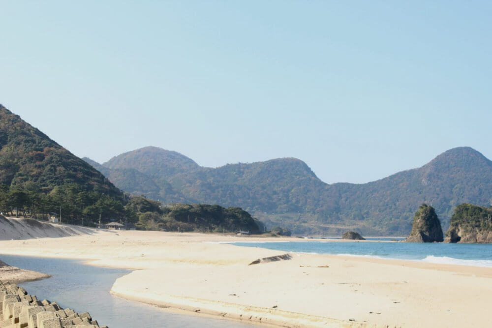
Starting Beach
The starting point at Takashima Beach is actually a car-campsite. There weren’t a lot of people camping when I set off, but in the summer it’s a very popular spot. In the autumn the waves can get quite large without much warning so swimming is not recommended. While the waves are usually good for surfers today was quite calm.
The beach has a small river cutting through it It’s quite a long beach but it still gets quite busy in the summer
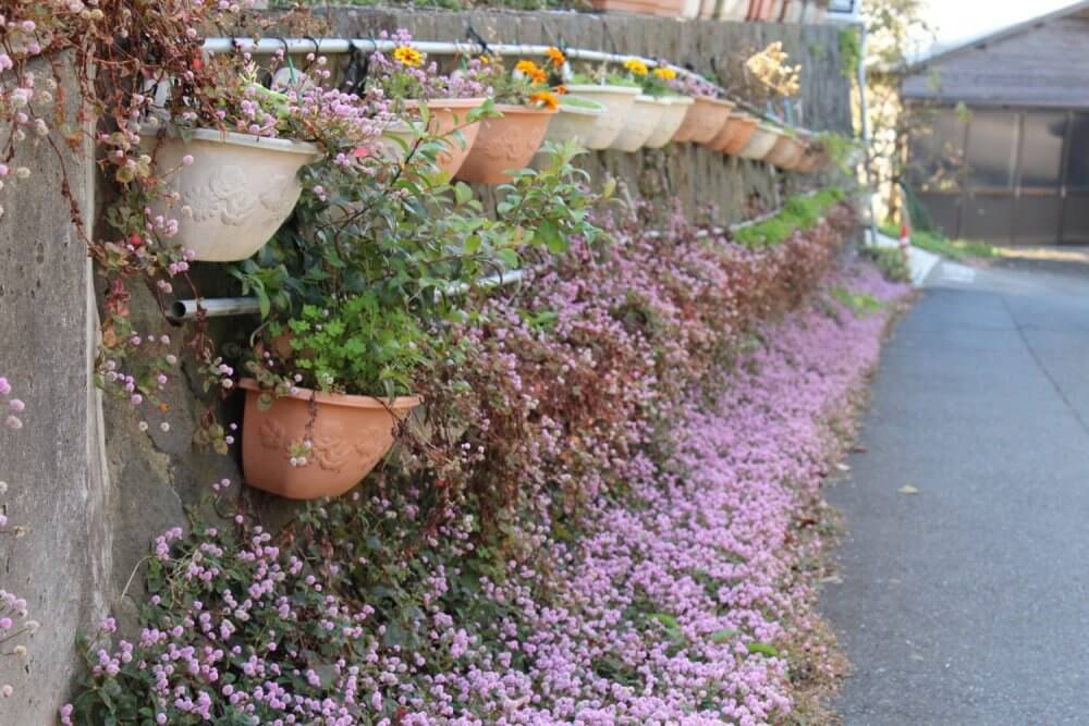
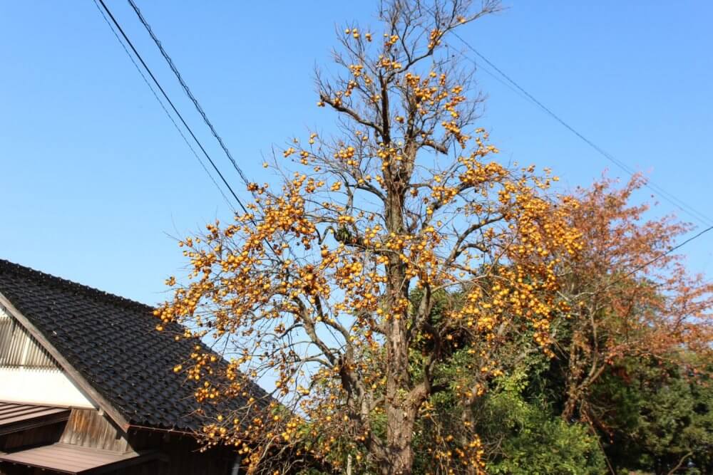
The houses on the road going out of the beach had lovely floral displays. There was a large persimmon tree which still had a lot of fruit on it.
This road makes the approach to the beach quite idylic Close up of the potted plants The persimmons on this tree were quite small, but there were a lot of them Bundles of daisies

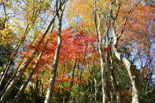
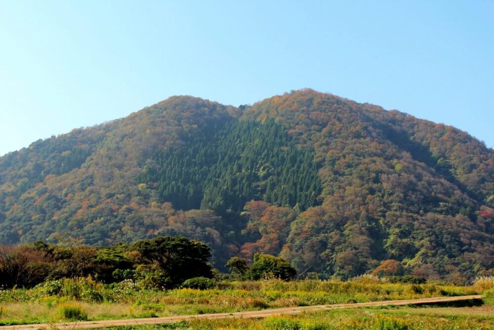
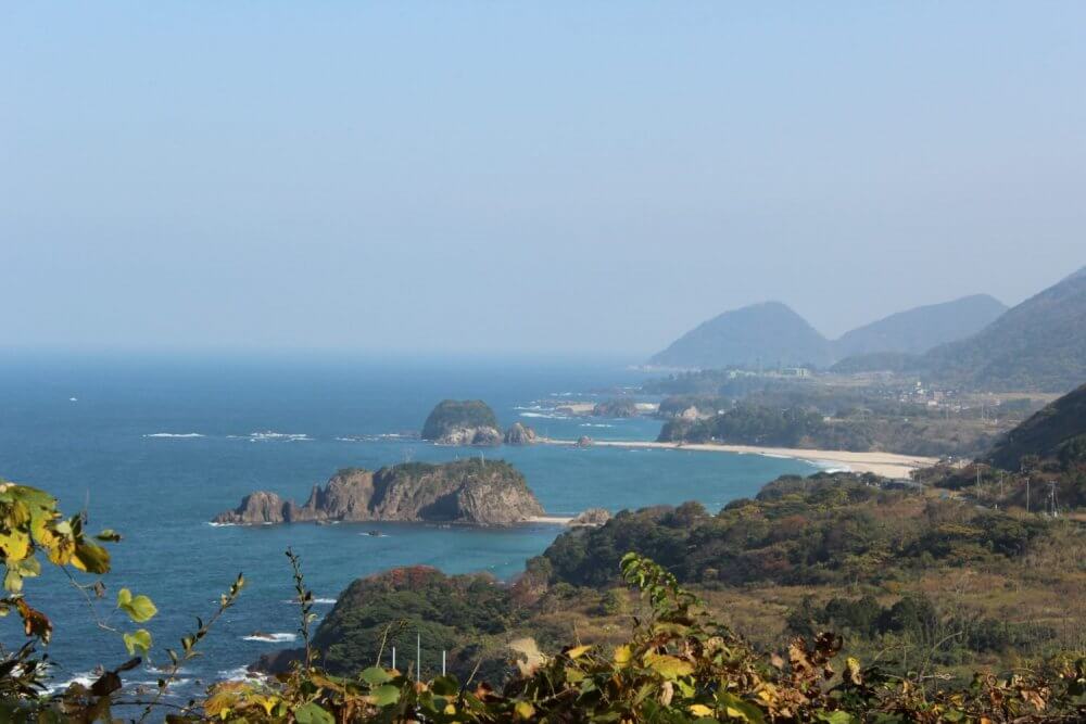
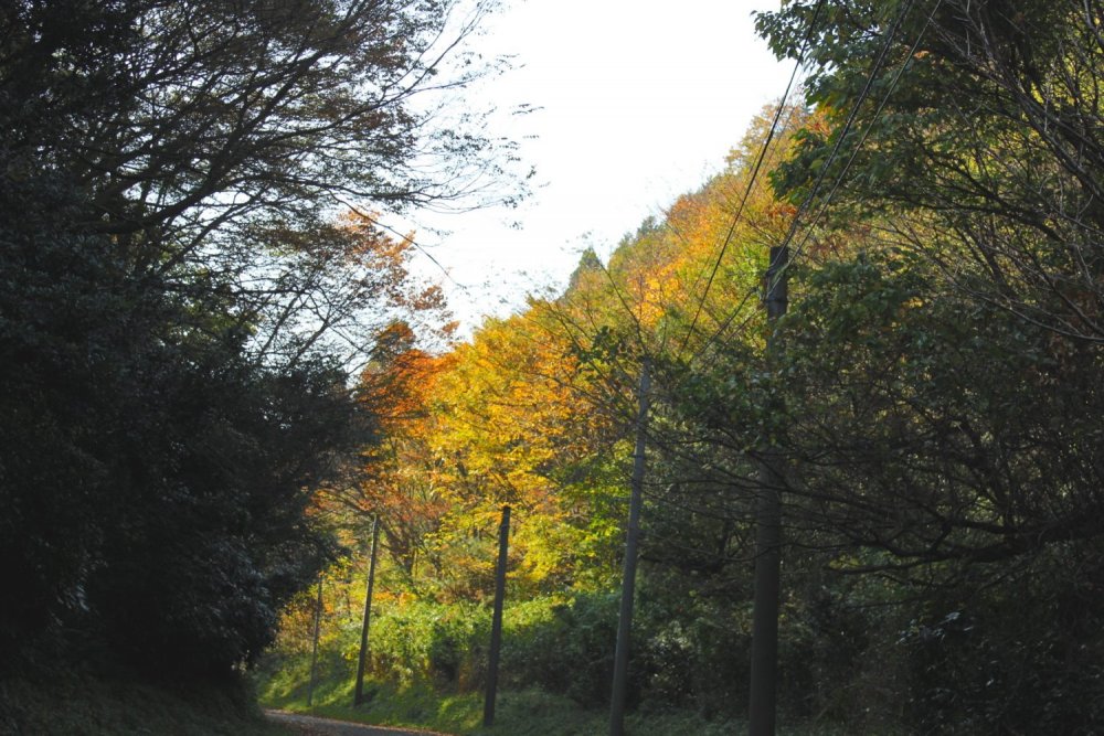
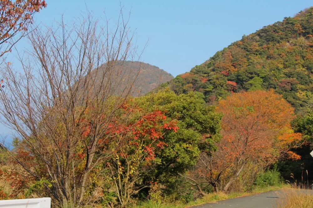
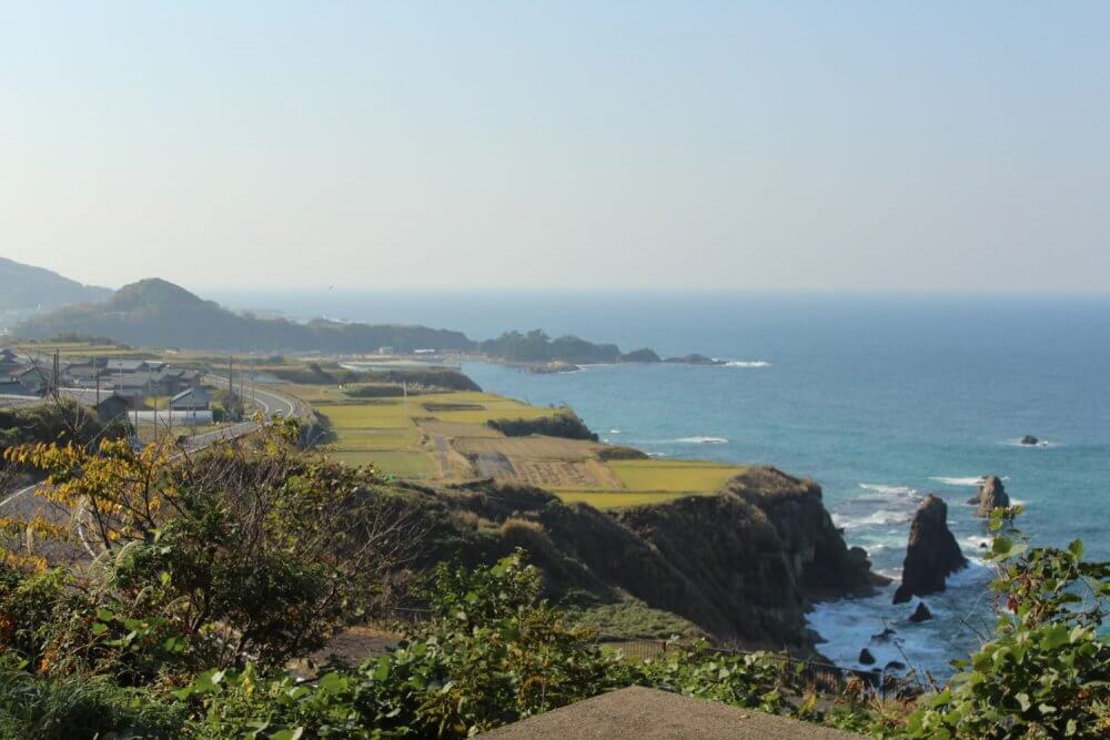
Visible for most of the walk away from the beach was a large hill. It had a heart of green pine trees which were surrounded by autumn leaves of every color.
This hill stayed within view for most of the walk away from the beach The range of colors on Kyotango’s hills is incredible Another pocket of pine trees reminds you of what color the leaves used to be
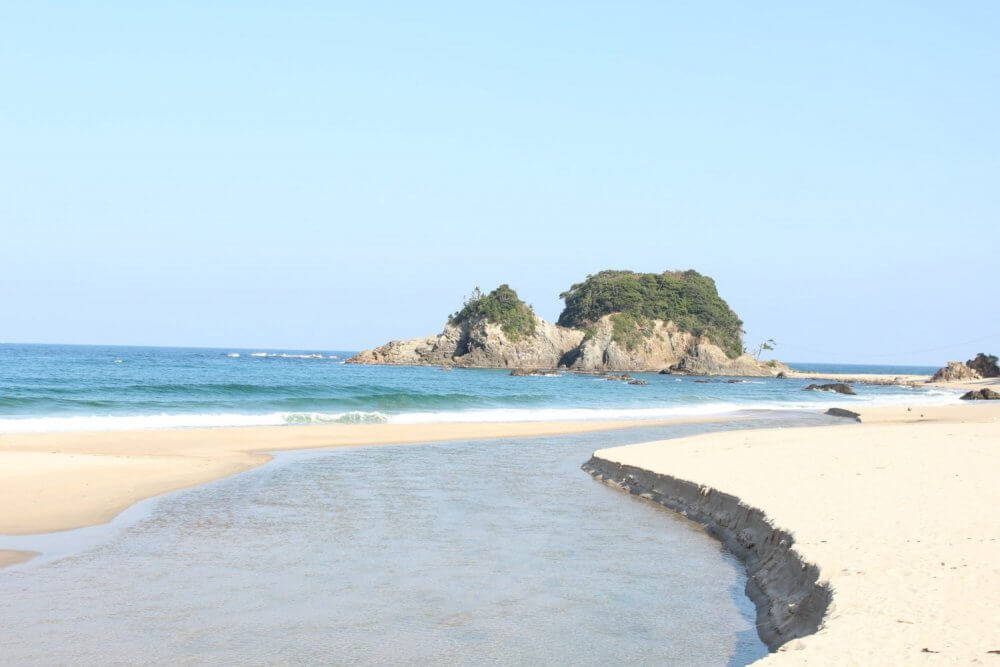
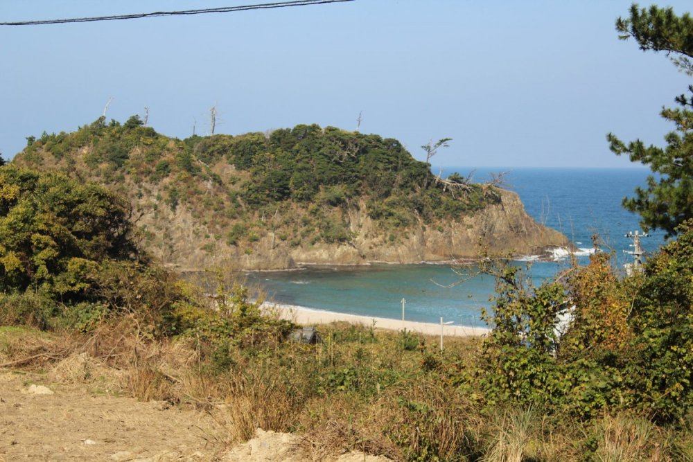
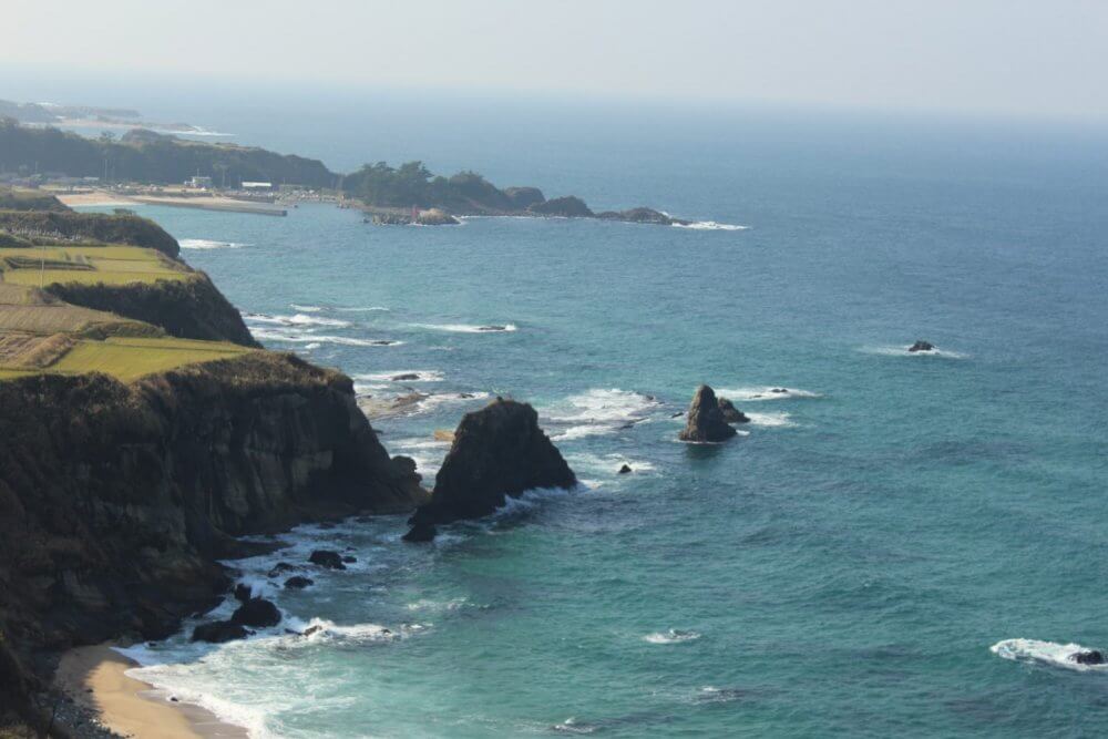
Tango Matsushima
Tango Matsushima is a series of islands covered with pine trees. It’s named after one of Japan’s three most scenic spots, Matsushima in Miyagi Prefecture. While it’s beautiful all year round the green branches swaying in the brisk autumn winds, as the rocks below are buffeted by waves is a dramatic site.
Close-up of one of the pine islands The waves were picking up a bit The beaches are beautiful; and busy in the summer Looking all the way back to the starting beach

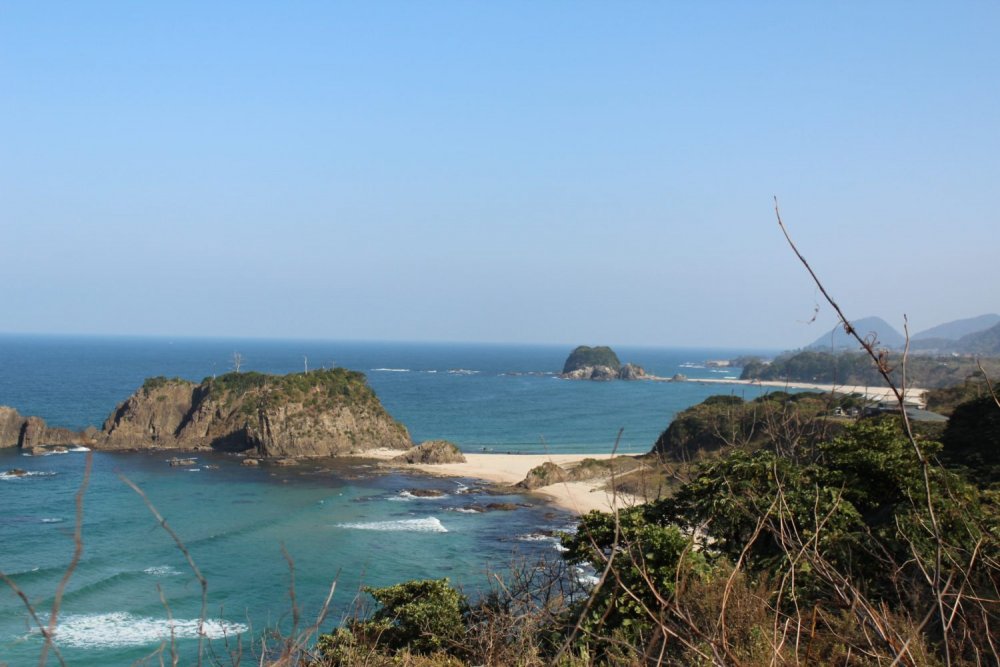
Towards the end of Tango Matsushima, just before reaching Inugamisaki, Cape Dog in English, the trail goes away from the coast and into the hills. The climb starts by going through a small village, letting you see all the way along the islands, and back to the start of today’s walk.
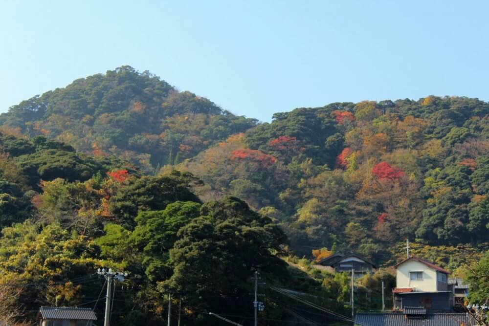
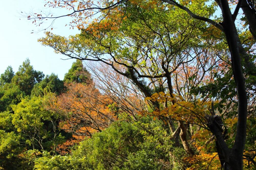
Autumn Leaves on the Mountain Trail
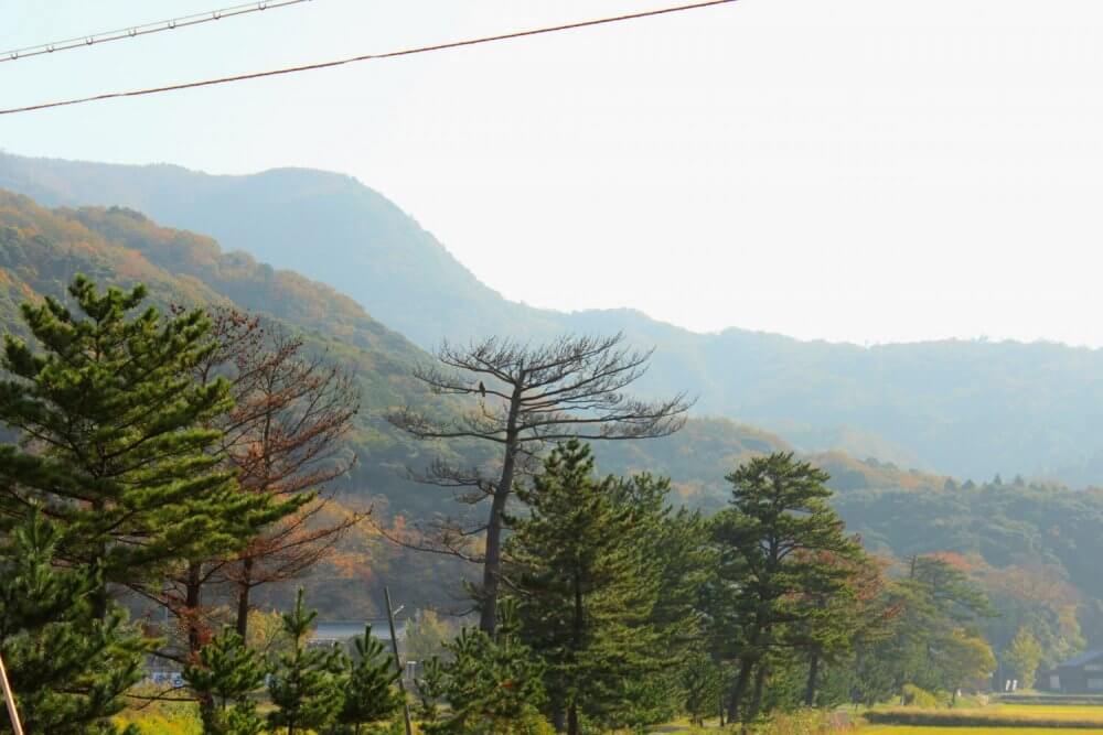
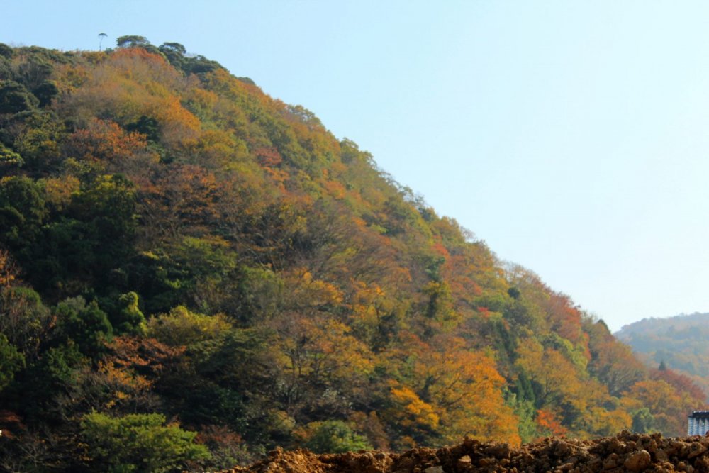
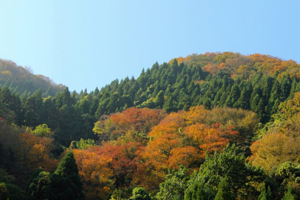
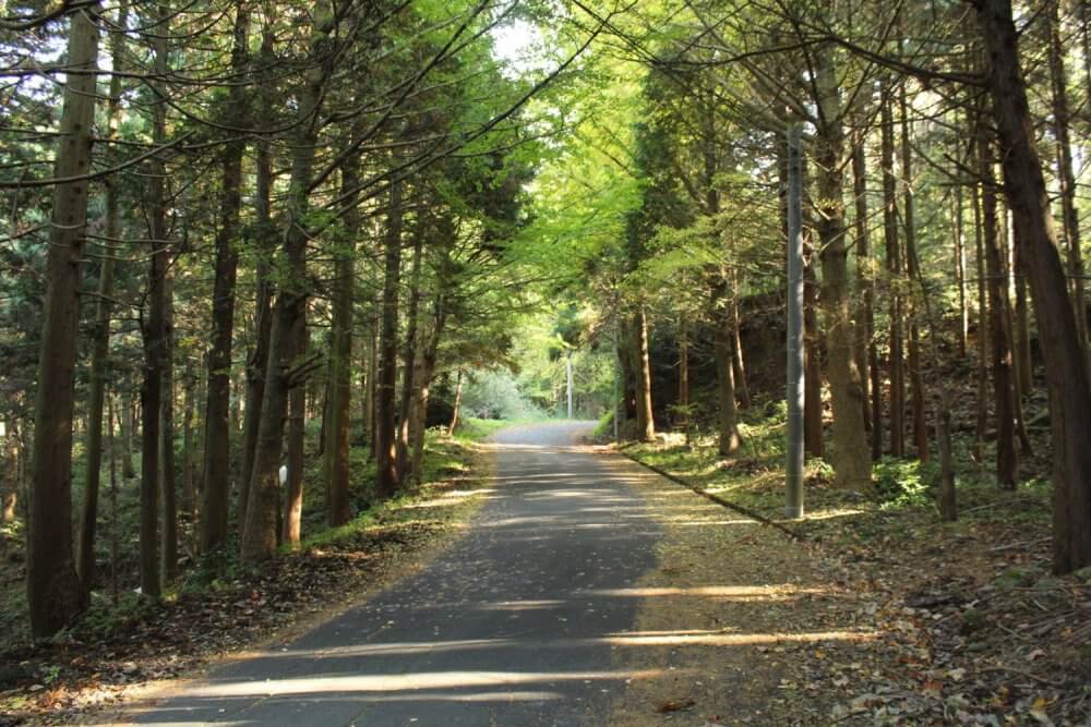
The village is on a steep hill and marks the start of the climb up to 145m. While the foliage coming out of the village was quite dense; there were pockets where you could see out to other hillsides and see the autumn leaves there. Not to mention the leaves overhead, while there was a lot of pine, the occasional ginkgo tree bursting with yellow makes quite an impression.
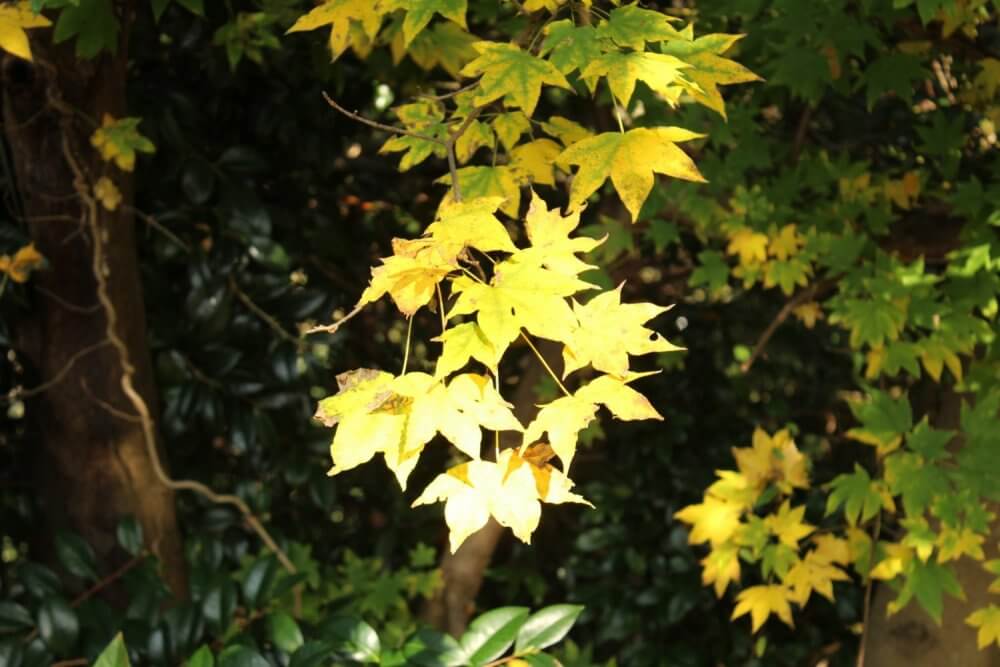
The pockets of bold autumn leaves really make the hills pop The autumn leaves’ colors are quite complex A ginkgo tree bursting from the green pine trees The road was quiet and the tall trees surrounding gave it a very foresty feel Looking between the trees to a neighbouring hill Inugamisaki is just visible in the distance Some kind of yellow maple leaf

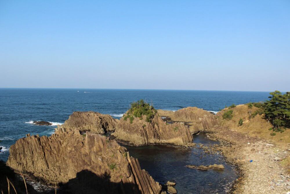
Byobuiwa
Coming down from the mountain pass leads straight to a stunning view of Byobuiwa. Named for it’s resemblance to a byobu, or folding screen. It is a volcanic andesite rock making it much harder than the surrounding rocks, and resistant to the constant lashes of the sea.
Folding-Screen Rock and some accompanying andesites A look down the coast towards Tenki Tenki Tango
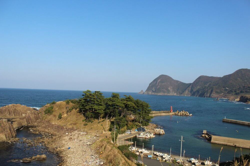
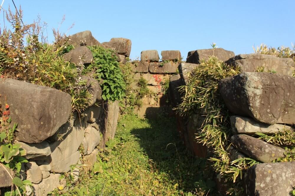
Onaru Burial Mounds
After Byobuiwa I arrived at the Onaru Burial Mounds. They date back to the 6th century and were made by quarrying the strong andesite rocks in the area. The naturally formed cracks and fissures were likely used to break off sections. This plateau also gives a great view of a local fishing harbor and Tateiwa rock.
Looking down to a local fishing harbor A little deep to call them rock pools this may have been where the stones for the burial mounds came from The view into one of the tombs
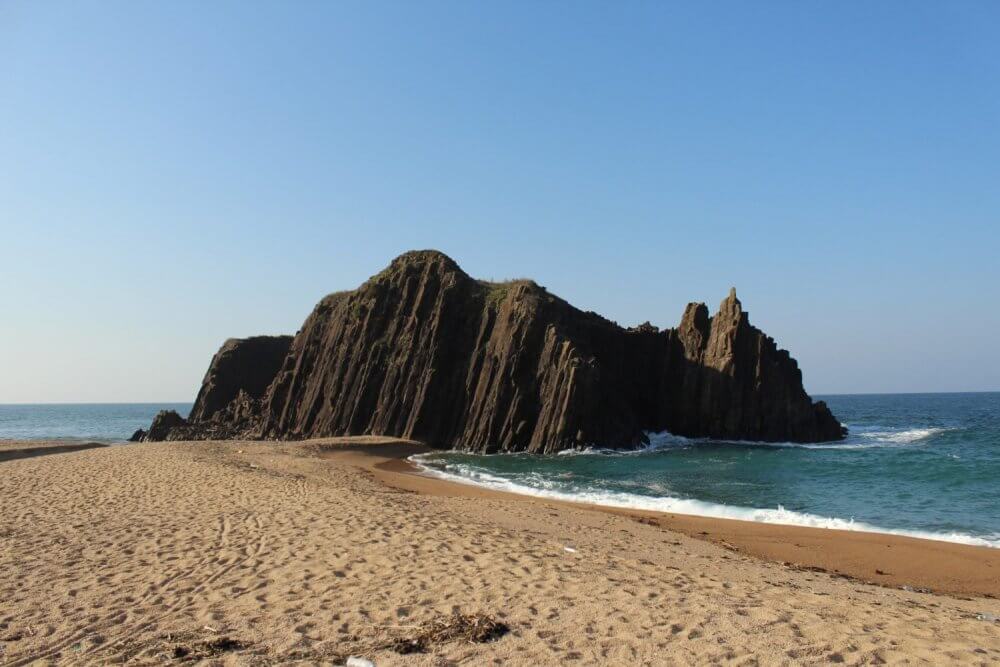
Tateiwa
Tateiwa, or standing rock, is also an andesite. At 20m tall it stands well above the waves that batter it; and has done so for about 15 million years. The beaches here are also popular in the summer. It doesn’t seem to attract the autumn surfers though, maybe something to do with the big rock in the middle.
The beach running up to Tateiwa Close-up of Tateiwa

Finish at Tenki Tenki Tango
The whole route took almost 3 hrs 40 mins to finish, a little longer than the expected time. I did spend more time taking pictures than I usually do so the published time is probably fairly accurate.
You can download the course map in Japanese here.
Take a look at the following links for more details on the Sanin Kaigan Geopark (English; Korean, Simplified Chinese, and Traditional Chinese are also available). And for maps of the entire geopark trail (Japanese language).